Trails and Trees

The trails and grounds at the Birds of Vermont Museum are open from dawn until dusk, year round. Our property spans both sides of Sherman Hollow Road.

Explore, exercise, and rest in forest and meadow, beside small gardens or a flowing stream. Take a look at the notices posted in our kiosks, and make a donation if you are able to.

There are no toilet facilities nor trash bins on our trails; please take care of those things before you come. Lastly, no pets on our trails—of couse, trained, leashed service dogs are permitted. We recommend using the road to walk all other dogs.

Our trails are maintained by staff and volunteers; please make a donation to their upkeep if you can.

Trails

Trails map for the Birds of Vermont Museum property:shows Sherman Hollow Road, some elevation topography, and trails.On the side south of the Museum, across the road, trails begin near the guard rail. Wander up the Spear Trail gradually through a small maintained meadow, to our Bird Blind and pond, and further up into the forest. Can you find game trails? An old stone wall? Please be careful not to step on fragile plants in the wet slope above the pond—do enjoy their delicate beauty! This forest is rich with deciduous second-growth trees that colonized what used to be farmland.

On the north side, head down the gravel path that slopes to the stream. Be careful as Bob’s Bridge has no railings. Cross the stream and choose your path: Bob’s Trail starts along the creek, passes Gale’s Retreat, then winds up and to the back of property, where there is a drier upland forest habitat. Gale’s Trail takes you directly uphill through white pines and ferns. Overall, this side is a bigger section of property with steep slopes and a great variety of habitats. Watch for tracks!

Need a map? Download the PDF, pick up a copy at the front desk, or see the posted maps on the kiosks on the Spear Trail or at the junction of Bob’s and Gale’s trails.

Bob's Trail

Bob’s Trail is an out-and-back trail on the north side of the property that connects to Pop’s Trail and Gale’s Trail. It is 0.65 miles long, and the surface is compacted dirt, with rocks and roots. It contains some obstacles, such as large rocks and occasional downed trees and branches. Depending on the season, some sections may be overgrown, narrowing the trail width. The upper section of the trail is steep and largely inaccessible for those using mobility devices. There is one bench on the trail that overlooks a stream. The trail contains a mix of shaded and sunny areas, and it is occasionally necessary to duck for branches.

Bob's Trail is blue on the map.

Updated June 30, 2024

On the north side of the property, Gale’s Trail is 0.34 miles long, with a surface of compacted dirt with occasional rocks and roots. It is an out-and-back trail with connections to Pop’s Trail and Bob’s Trail. The lower section is moderately steep and the upper section is steep, with ropes available for use on the steepest sections. This section of the trail is not recommended for those using mobility devices. The trail is mostly shaded, and there are occasionally large rocks and downed trees or branches. Depending on the season, some sections may be overgrown, narrowing the trail width. There is one shaded bench located about halfway up the trail.

Gales's Trail is yellow on the map.

Updated June 30, 2024

Pop’s Trail is an out-and-back trail on the north side of the property that is 0.62 miles long. It connects to Gale’s Trail and Bob’s Trail.

The surface of Pop's Trail is made up of compacted dirt with occasional rocks and roots. On the southwest portion of the trail, there are narrow boardwalks to help navigate muddy and wet sections. There are moderately steep sections of trail, as well as sections that involve traveling over rocks. Additionally, there are occasional downed trees or branches. Depending on the season, some sections may be overgrown, narrowing the trail width.

There is one shaded bench along the trail.

Pop's Trail is shown in red on the map.

Updated August 3, 2024

The Spear Trail is a "lollipop" trail (out and back, with a loop) on the south side of the property that contains the Story Trail and part of the Discovery Trail. Further along the Spear trail, it connects to the Green Mountain Audubon Center’s trail network.

Spear Trail is 1.5 miles long, and the trail surface is compacted dirt, with rocks and roots. There is also a short grassy section around the pond. Apart from this grassy section, the trail is well-shaded. Depending on the season, some sections may be overgrown, narrowing the trail width. In addition, the trail may contain downed trees or branches.

There are three benches overlooking the pond, and one additional bench further along the trail. As of August 2024, there are ruts and muddy sections present due to flooding.

Spear Trail is orange on the map.

Updated August 17, 2024

The Discovery Trail is located across the road from the museum. It is 0.2 miles long and is a "lollipop" trail (an out-and-back trail with a loop at the end).

The surface of the out-and-back portion of the trail is compacted dirt covered in woodchips, and it is well-shaded with trees. As of August 2024, some sections of woodchips have been washed away due to flooding, exposing underlying rocks and roots. Additionally, some terrain in this section is uneven, due to recent heavy rainfall.

The loop section of the trail is grassy, and depending on the season, some sections may be overgrown, narrowing the trail width. It is well-maintained and mowed frequently, but shade is infrequent along this portion of the trail.

The average width of this trail is 40 inches, with the minimum width being 16 inches. The average grade of this trail is 5°, with the maximum grade being 11°. The average cross slope is 3°, and the maximum cross slope is 10°.

The Discovery Trail has two benches, located approximately every 500 feet along the trail. There is one additional bench located next to one of four pause points, which are located every 300 feet along the trail. There are no major obstacles on the path.

The trail conditions change seasonally, so be mindful of changes due to weather events like snowfall in the winter, mud in the spring, and thunderstorms in the summer. You can find this trail on the Birdability map, and comments are welcome.

The Discovery Trail is purple on the map.

Updated August 17, 2024

Treehouse

The Treehouse Trail is a short path from the road to the treehouse behind the museum. It is 120 feet in length and is surfaced with loose gravel. Its average width is 54 inches, and the minimum width along the path is 40 inches. The average slope of the path is 2°, and the maximum slope is 5°. Similarly, the average cross slope is 1°, and the maximum cross slope is 5°. The path is partially shaded with trees. The only obstacle along the trail is at the entrance to the treehouse, where there is one diagonal beam around eye level at adult standing height. Lean or step to the left on entering, as necessary.

There is one bench along the trail, which is surrounded by a grassy surface. There is a grassy area with two benches and two picnic tables adjacent to this trail.

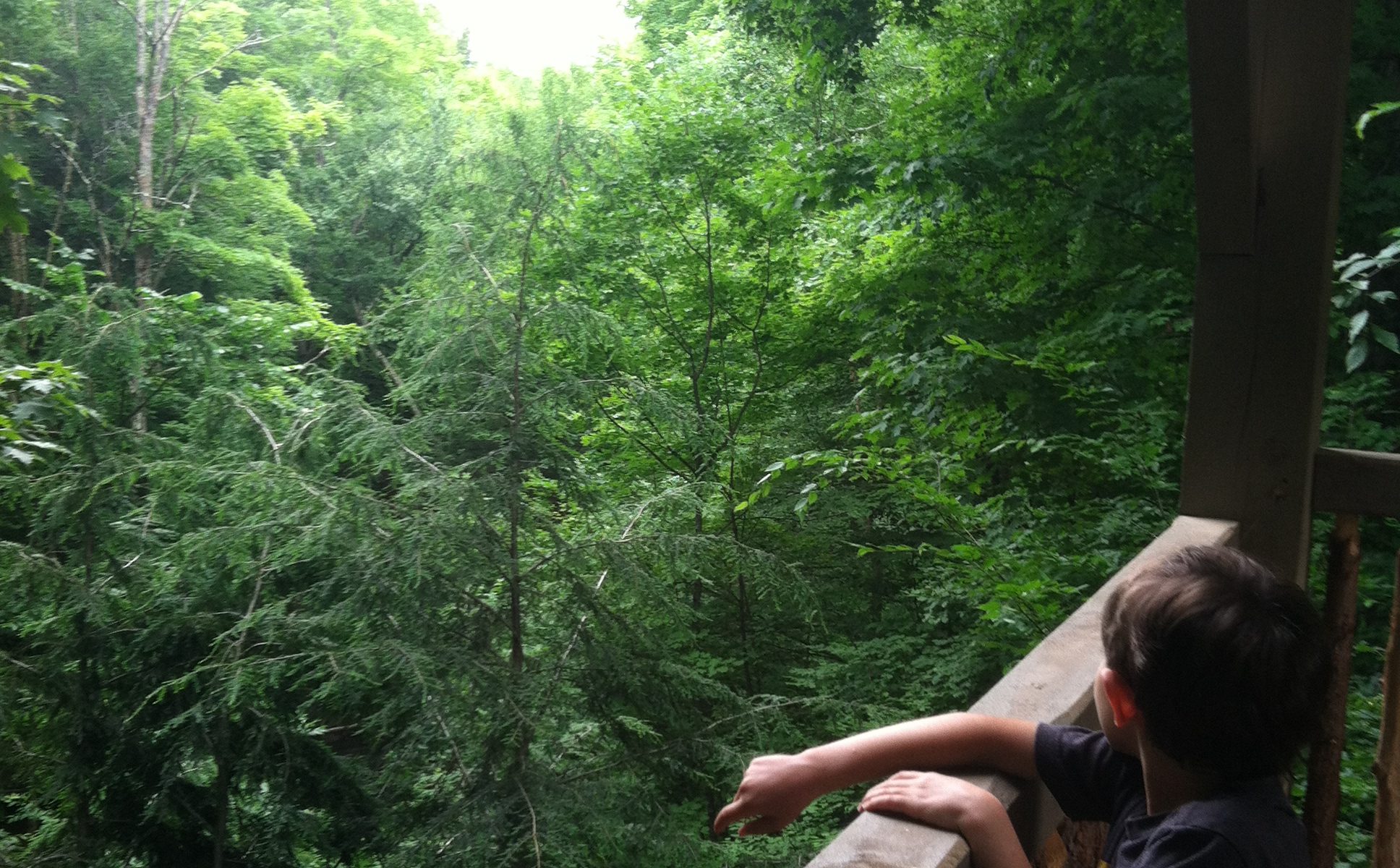
The treehouse itself is a medium-sized wooden structure that usually contains a table with four chairs, a bench, and two additional chairs. The roof of the treehouse provides shade and weather protection. There are railings on all four sides that do not obstruct a seated visitor’s view.

This trail is recommended for those using mobility devices. You can find this trail on the Birdability map, and comments are welcome. (Description updated August 17, 2024)

Outdoor Safety

There is little to no cell service on this property. We always recommend you dress for the weather, wear good shoes, put on tick protection, and drink enough water. Be careful, have fun, and conserve the land for the next visitors.
Share via
Copy link
Powered by Social Snap